Jeju Olle Trail Walking Guide: Routes, Gear and Bus Tips

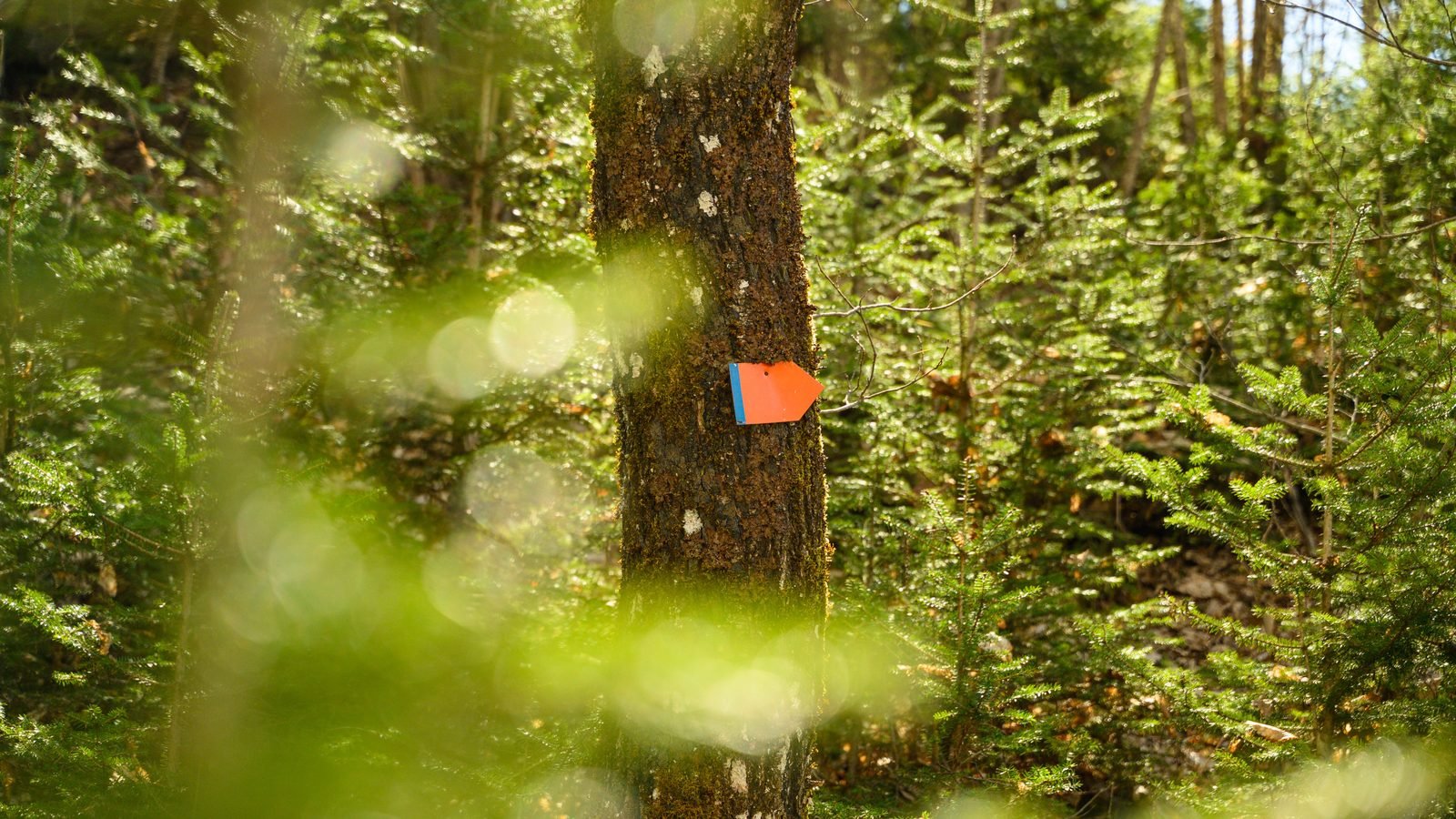
A blue ribbon flutters against a jagged black basalt wall while the smell of salt spray carries on the wind. This is the hallmark of the Jeju Olle Trail, a network of 27 connected walking paths that encircle the entire coastline of South Korea’s largest island. Unlike the steep mountain climbs found in the mainland national parks, the Olle routes follow the natural curves of the coast, farm tracks, and village alleys. It is a slow way to see the island that most tourists zip past in rental cars.
This jeju olle trail walking guide is designed for independent travelers who want to tackle a few segments or the entire 437-kilometer (about 271 miles) loop. I have lived in Korea for years and visited Jeju in every season, and October is arguably the best time for these walks. We will cover how to choose the right route for your fitness level, how to navigate the island using the public bus system, and what specific gear you need to handle the volcanic terrain. Whether you want a half-day stroll or a week-long trek, these tips will help you manage the logistics.
How the Olle Trail system and passport work
The word Olle comes from the local Jeju dialect, referring to the narrow path that leads from a public road to a private house’s front door. Today, it represents a massive community project that connects the island’s natural beauty with its small-town life. The trail is divided into 21 main routes and several sub-routes, like 1-1 or 14-1. Each segment is roughly 10 to 20 kilometers (6 to 12 miles) long and is designed to be completed in a single day of moderate walking. The entire system is marked by three distinct icons: blue and orange ribbons tied to trees, blue arrows painted on walls, and small blue pony statues called Ganse.
To track your progress, you should buy an official Olle Passport for ₩20,000 (about $15). This small booklet has dedicated pages for every route. Each route has three stamp stations: one at the start, one in the middle, and one at the finish. The stamps are kept in red wooden boxes that look like birdhouses. Collecting these is more than just a souvenir; if you complete the entire circuit, you can receive a formal certificate and a medal at the Jeju Olle Office. You can buy the passport at the airport information desk or at the Jeju Olle Center in Seogwipo. It is a great way to stay motivated when the wind picks up and your legs get tired.
The markers are very reliable, but you must know the color coding. Blue markers point the way if you are walking in the standard clockwise direction around the island. Orange markers are for those walking counter-clockwise. If you go more than 200 meters without seeing a ribbon or an arrow, you have likely missed a turn. In October, the weather is often clear, but the trail can sometimes cross through private citrus orchards or farm fields. Always stay on the marked path to respect the local farmers who allow the trail to pass through their land.
Choosing the best route segments for your trip
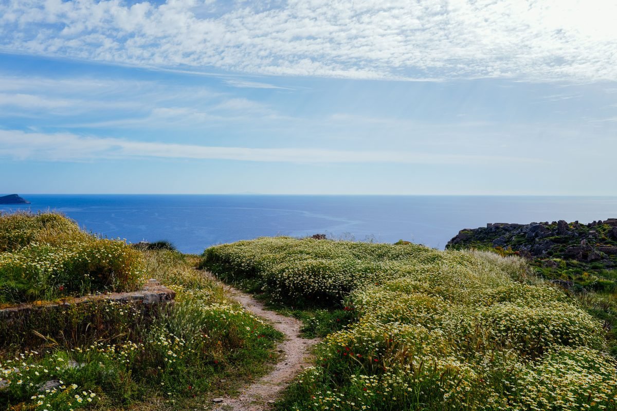
With 27 routes to choose from, picking where to start can be overwhelming. For most first-timers, Route 1 is the logical choice. It begins near the famous Seongsan Ilchulbong (Sunrise Peak) and offers a mix of volcanic cones and coastal views. If you are following a Jeju 3 day itinerary without a car, Route 1 is very accessible by public transport. It is about 15 kilometers (9 miles) and takes roughly 4 to 5 hours. You will walk past green fields of carrots and radishes, which are iconic to this part of the island. The terrain is relatively flat, making it a good warm-up for the more rugged southern sections.
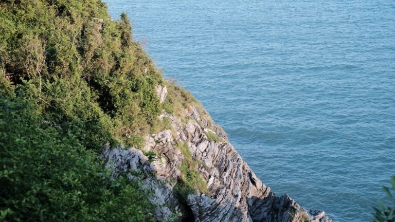
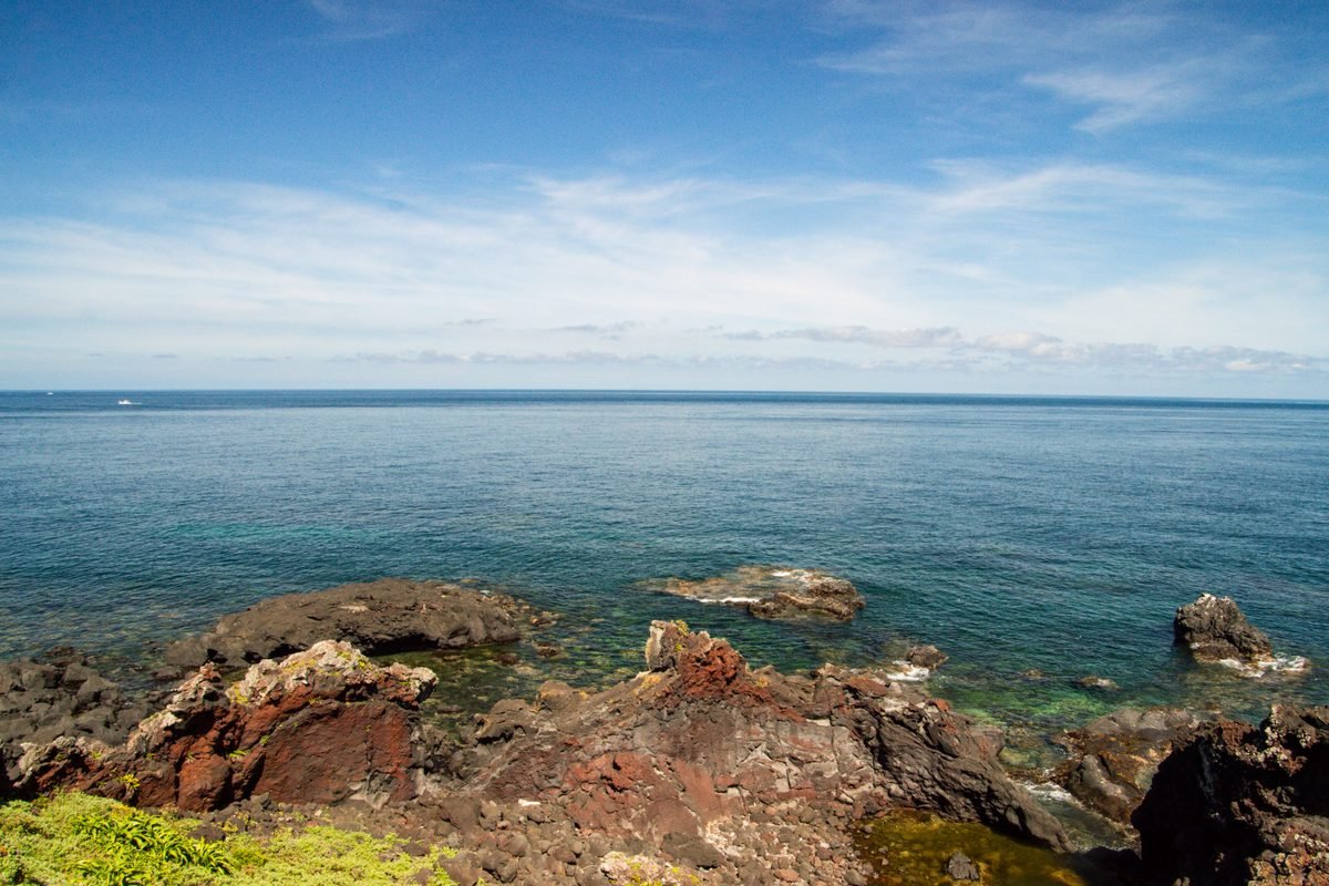
If you want the most dramatic coastal scenery, Route 7 is widely considered the crown jewel. It starts in Seogwipo City and follows the rugged southern cliffs past Oedolgae Rock. This route is about 17.6 kilometers (11 miles) and features a section called the Subong-ro, a narrow path through a forest that leads down to a rocky beach. The contrast between the deep blue sea and the black volcanic rock is incredible here. Be aware that Route 7 has more uneven footing than Route 1. You will need to watch your step on the basalt stones, which can be slippery if there was a light morning rain. It usually takes about 6 hours to finish at a steady pace.
For those who prefer forests over beaches, Route 14-1 is a fantastic inland option. It takes you through the Gotjawal, Jeju’s unique primeval forest grown on lava rock. The air here feels different—cooler and more humid. This route is shorter, around 9 kilometers (5.6 miles), and ends near the O’sulloc Tea Museum. Since the ground is mostly lava rock, the path is very uneven. It is a great choice if the coastal winds are too strong on a particular day. During the Korea autumn foliage guide season in late October, the maple trees in the inland forests begin to turn, adding a layer of color to the deep green ferns.
How to get to trailheads by public bus
You do not need a rental car to hike the Olle Trail. In fact, a car can be a burden because the routes are point-to-point; you would have to take a bus or taxi back to your car anyway. Jeju’s bus system is efficient and affordable. The main coastal routes are served by the 201 and 202 blue trunk buses. The 201 bus runs along the east coast from Jeju City to Seogwipo, while the 202 bus covers the west coast. A single ride costs ’1,150 (about $0.90) if you use a transit card. You can use the same card you used in the capital if you know how to use T-money card systems from your time in Seoul.
To find a trailhead, use Naver Map or KakaoMap rather than Google Maps, as Google does not provide accurate walking or transit directions in Korea. Simply type the route number, such as “Jeju Olle Route 6 Start,” into the search bar. The app will tell you exactly which bus stop to use. When you board the bus, tap your card on the reader. You must also tap your card when you get off to receive a free transfer if you need to switch to a local village bus. The transfer window is 40 minutes. Most trailheads are within a 5 to 10-minute walk from a major bus stop on the main road.
Taxis are also a viable option if you are in a rush or traveling in a group. A 15-minute taxi ride will generally cost between ’10,000 and ’15,000 (about $7.50 to $11). KakaoT is the best app for hailing a taxi, and you can pay the driver directly with your credit card or T-money card. If you are staying in a central hub like Seogwipo, you can easily reach five or six different trailheads within 20 minutes. This makes the southern part of the island the most convenient base for a dedicated walking holiday. Always check the last bus times if you are finishing a route late in the afternoon, as rural bus frequency drops significantly after 7:00 PM.
Tip: Tap Off for Transfers
Always tap your T-money card on the rear reader when exiting the bus. This ensures you only pay the correct distance fare and activates your free transfer for the next 40 minutes.
Essential gear and weather preparation
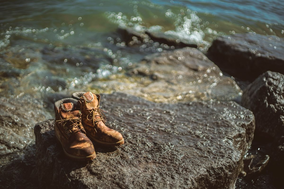
The terrain on Jeju is dominated by basalt, a volcanic rock that is incredibly sharp and porous. Even on the easier routes, you will spend a significant amount of time walking on uneven stones or gravel. For this reason, I strongly recommend proper hiking boots with ankle support rather than standard sneakers. The rock can chew through thin rubber soles quickly. If you prefer trail runners, make sure they have a rock plate. In October, the ground is usually dry, but if it rains, the basalt becomes surprisingly slick. Good grip is essential for safety.
Jeju is known as the island of wind. Even on a sunny day, the coastal gusts can be strong enough to drop your body temperature. Pack a lightweight, windproof shell jacket that you can easily layer over a t-shirt. October temperatures typically range from 15°C to 22°C (59°F to 72°F). It is comfortable for walking, but you will feel the chill the moment you stop for a break. A wide-brimmed hat with a chin strap is also necessary. The sun on Jeju is intense, and because of the constant breeze, you might not realize you are getting burned until it is too late.
Water and snacks are vital, though you are rarely more than a few kilometers from a convenience store or a small cafe. I suggest carrying at least 1.5 liters of water. You will find many 7-Eleven or CU stores near the start and end of routes, where you can buy a bottle of water for about ’1,000 (about $0.75). For snacks, try the local Hallabong oranges or dried seaweed crackers. Also, carry a small power bank for your phone. Using GPS and map apps all day will drain your battery, and you don’t want to lose your navigation tools in the middle of a forest section.
Where to eat along the trail
One of the best parts of walking the Olle Trail is the access to local food that you won’t find in the tourist-heavy districts. Along the coastal routes, look for the “Haenyeo Houses” (Sea Women Houses). These are small, often orange-roofed buildings run by the island’s famous female divers. They serve the freshest seafood imaginable, caught that very morning. A bowl of Jeonbok-juk (abalone porridge) costs around ’15,000 (about $11) and is the perfect fuel for a long walk. It is warm, savory, and easy on the stomach. You might also see them selling plates of sliced sea squirt or conch if you are feeling adventurous.
For a quicker lunch, stop at a local gimbap shop in the villages. Jeju has several famous gimbap spots that specialize in unique fillings like fried pork cutlet or spicy anchovies. A roll usually costs between ’4,000 and ’6,000 (about $3 to $4.50). It is the ultimate portable hiker’s meal. If you are on Route 6 or 7 near Seogwipo, stop at the Seogwipo Maeil Olle Market. It is a covered market filled with stalls selling everything from black pork skewers to peanut ice cream from Udo Island. The market is a great place to rest your feet and soak in the local atmosphere.
Coffee culture is massive on Jeju, and you will find architecturally impressive cafes even in remote areas. Many of these cafes are located right on the trail, offering floor-to-ceiling windows with ocean views. An Americano usually costs about ’5,500 (about $4). While it might seem expensive, these cafes often serve as unofficial rest stops where hikers can recharge their phones and use clean restrooms. Look for the Olle partner signs; some cafes offer small discounts or free water refills for hikers carrying the official Olle Passport. It is a nice way to support the local economy while you take a break.
From a local: Look for the Orange Roofs
Buildings with bright orange roofs near the water are often Haenyeo cooperatives. They offer the freshest seafood on the island at better prices than city restaurants.
Practical tips for a smooth trek
Timing is everything on the Olle Trail. In October, the sun sets around 5:45 PM. You should aim to start your walk by 9:00 AM to ensure you finish before dusk. While the trails are safe, they are not lit, and navigating volcanic rocks in the dark is dangerous. If you find yourself running behind schedule, check your map for the nearest “escape point” to a main road where you can catch a bus or call a taxi. Most routes have several points where the path intersects with the main highway, so you don’t always have to finish the entire segment in one go.
Safety is generally not an issue in Korea, but walking alone in remote forest sections still requires caution. The Jeju Olle foundation provides a “Safety Bell” service for solo female hikers, which can be rented at the Jeju Olle Center. However, simply staying on the marked path and keeping your phone charged is usually enough. There is excellent cell service across almost the entire island, even in the forests. If you encounter a stray dog, which is rare but possible in rural areas, simply keep walking calmly and do not try to pet it or feed it. Most are just village dogs wandering near their homes.
Finally, respect the environment. Jeju is a UNESCO World Heritage site, and the Olle Trail relies on the goodwill of the community. Carry a small trash bag with you, as public bins are rare outside of the main villages. If you see a blue pony (Ganse) statue, take a moment to read the plaque; they often mark sites of historical importance, such as old fortifications or sites related to the Jeju 4.3 incident. Understanding the history of the land makes the walk much more meaningful. The trail is free to use, but donating a few thousand won at the Olle Center helps maintain the ribbons and paths for future hikers.
Heads up: Finish Before Sunset
Jeju’s rural areas get dark very quickly and have no streetlights. Always plan to reach your destination or a main road at least 30 minutes before sunset.
What it costs in Jeju
| Item | Local price | USD |
|---|---|---|
| Olle Passport (one-time) | ₩20,000 | $15.00 |
| Bus fare (2-3 rides) | ’3,450 | $2.60 |
| Abalone Porridge lunch | ’15,000 | $11.20 |
| Convenience store snacks/water | ’6,000 | $4.50 |
| Mid-range guesthouse/hotel | ’85,000 | $63.00 |
| Cafe coffee/rest stop | ’5,500 | $4.10 |
| Total Daily Estimate | ’134,950 | $100.40 |
Prices checked October 2026. Always confirm with the provider before you book.
Where to stay in Jeju
Budget
Seongsan-eup, for proximity to Route 1 and 2
This area is perfect for starting your journey with plenty of hostels and small guesthouses within walking distance of the Sunrise Peak. Expect to pay between ’35,000 and ’55,000 (about $26 to $41) per night.
Mid-range
Seogwipo City, near the Maeil Olle Market
This is the most central hub for the southern routes (6, 7, and 8) and offers a huge variety of local restaurants and bus connections. Nightly rates for clean, modern hotels range from ’70,000 to ’110,000 (about $52 to $82).
Splurge
Hamdeok Beach, for northern coastal luxury
Located near Route 19, this area has high-end resorts with ocean views and is famous for its turquoise water and white sand. Prices here typically start at ’250,000 (about $185) and go up significantly for premium suites.
Mistakes to avoid
- Wearing thin-soled sneakers on sharp basalt rocks.
- Starting a 6-hour route after 1:00 PM in the autumn.
- Relying on Google Maps for walking directions instead of Naver or Kakao.
- Ignoring the orange ribbons when you intend to walk clockwise (follow blue).
- Not carrying enough water in the inland forest sections where there are no shops.
FAQ
Do I need to pay to walk the Jeju Olle Trail?
No, the trail is completely free to access for everyone. The only cost is the optional ₩20,000 (about $15) for the official passport if you want to collect stamps and receive a completion certificate. This jeju olle trail walking guide recommends buying it to support the foundation.
Can I walk the trail in the winter?
Yes, Jeju is much warmer than Seoul in the winter, but the wind can be brutal. You will need high-quality windproof gear and should be prepared for occasional snow in the higher inland sections.
Is the trail well-marked?
Yes, it is one of the best-marked trail systems in Asia. You just need to follow the blue and orange ribbons, arrows, and Ganse pony statues. If you don’t see a marker for 200 meters, turn back to the last one you saw.